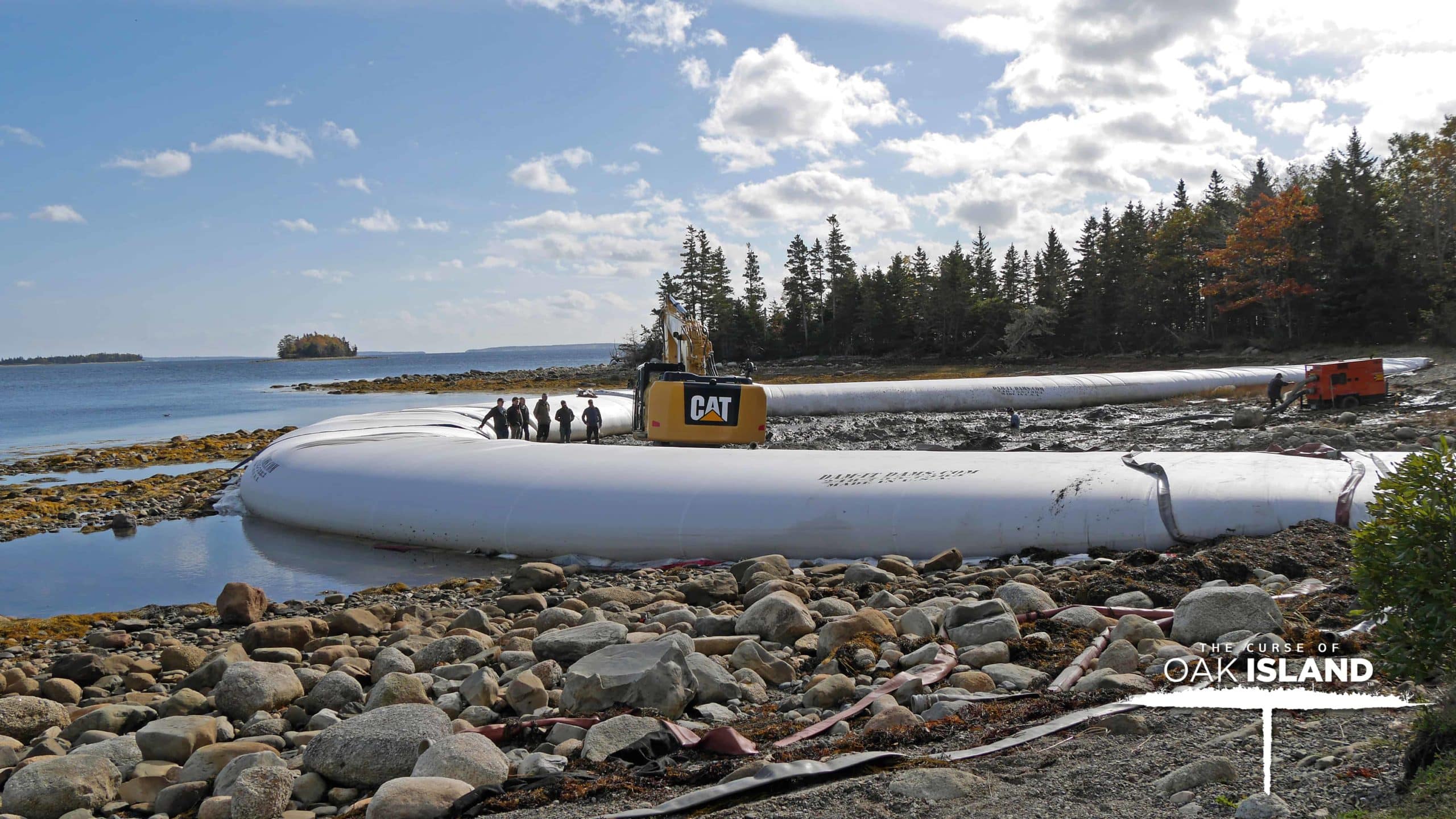
When it comes to setting up a cofferdam and cofferdam system for your project, whether it be in the business sector or for home use, there are certain things that you need to focus on, things that you cannot compromise on. You know what the project is and you know the importance of getting the job done right and on time. With all that in mind, it may be overwhelming and, with all the options out there, hard to decide what product will serve you best.
Blog Posts
Autumn in Michigan and Winterization Prep

One of the most beautiful sights to see in Michigan is the Autumn.
There’s nothing quite like the sights and scents and sounds. The feelings that fill Michiganders with comfort, the memories of childhood fall, the beauty of the landscape are all inescapable as fall approaches. The greenery changes to vibrant oranges, yellows, reds, and even complimentary browns as leaves transform and tumble and twirl from the branches they once clung to, the leaves that have fallen to the ground then make the most satisfying crunch noise underfoot as you walk down the street, the chill and moisture in the air is refreshing, pumpkin patches, apple orchards, haunted houses, these are all things that fills one with contentment.
Hurricane Florence
Hurricane Florence has been making a dangerous and terrifying impact, particularly in the Carolina’s. The catastrophic blows of the hurricane that was downgraded to a tropical storm then picked up enough momentum to become a hurricane again are seemingly unending.
In North Carolina, 750,000+ residences and businesses have lost electricity.
There has already been approximately 30 inches of rain fallen so far, with an anticipated 40 inches, and an additional 10-15 inches more in certain areas.
Reducing Your Footprint While Doing 3-D Projects
In today’s day and age, environmental awareness and protection is a hot topic and key concern to the population as a whole. Environmental regulations in construction and industry continue to be set in order to make the products offered and the procedures followed more environmentally-conscientious. Environmentally friendly solutions in construction can always be achieved and we’d like to provide you with a few pointers to get your project set in the right direction.
Wildfire Emergency Solutions Using Cofferdams
For all the many uses of water prevention cofferdams, why couldn’t it be used for purposes of drought or even fire? What if cofferdams could be used as a water preserver instead of just a block? The versatility of the portable and temporary cofferdam offered by Dam-It Dams is more than enough for most tasks-at-hand, possibly including this one.
Other companies offering similar products have had good success utilizing this possibility. In theory, since the cofferdam was designed with having a water-tight seal in mind, this could definitely be a good alternative use! Why limit the use of this product to just holding back water when it could be used for holding in water for future use?
